Tracking the Impact
If you are passionate about protecting wildlife, eager to explore hidden corners of the Chilterns through bird, butterfly and plant surveys, or keen to sharpen your identification skills, then Tracking the Impact is your opportunity to make a real difference!
What is Tracking the Impact?
Tracking the Impact is an exciting wildlife surveying programme across the central Chilterns. Whether you’re a seasoned surveyor or just starting out, you can take part in bird, butterfly and plant surveys, contribute to national recording schemes, and help guide real conservation work.
Since expanding into River Chess catchment in 2023, our 78 survey squares are revealing trends that shape the future of woodlands, grasslands and farmland. Training sessions at the start of each session give you the skills and confidence to explore, record and make a difference.
Why get involved?
Learn new skills, enjoy a range of free training, and deepen your knowledge of local birds, plants and butterflies. By taking part in surveying, your efforts will make a real difference – helping us to understand the state of nature locally and contributing to national initiatives like the Breeding Bird Survey, Wider Countryside Butterfly Survey and National Plant Monitoring Scheme.
Every observation matters.
How to get involved
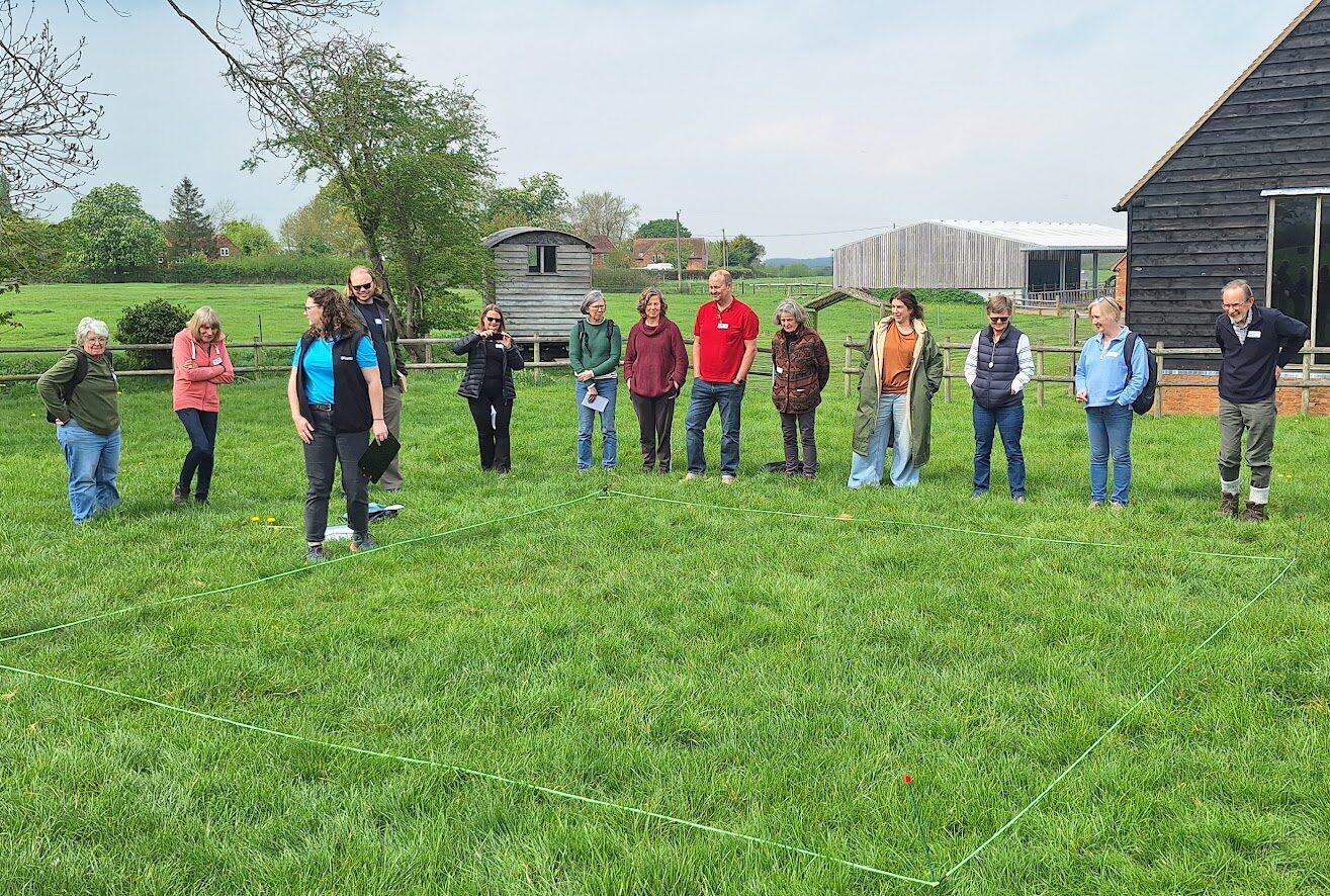
Whether your passion is birds, butterflies, or plants, Tracking the Impact offers exciting opportunities to:
- Take on new survey squares and contribute to national recording schemes
- Receive expert training in species ID and survey techniques
- Access support and guidance as a new volunteer
By joining the project, you’ll make a real difference for wildlife in the Chilterns, contribute to national conservation initiatives, and connect with fellow surveyors at workshops and events.
Case study: Tracking the Impact
Read about how citizen scientists are tracking the impact of landscape-scale nature recovery.

The results so far
We have seen some incredible results so far – in the first five years of the project, our team of volunteers has helped reach 75% coverage of our project area, and has amassed more than 20,000 records! All of the records for the survey squares have been entered onto our online interactive maps, so you can see for yourself what birds, butterfly and plants have been recorded and where.
In summary since 2020:
- 166/222 squares have been surveyed (75%) coverage
- 1,404 visits have been made
- 504 species have been recorded
- 20,341 records have been submitted
Identifying long-term trends
A key goal of Tracking the Impact is to build a long-term dataset showing how birds, butterflies, and plants are faring across the Chilterns. By tracking their distribution and abundance year after ear, we can better understand the effect of the great conservation work farmers and landowners are doing.
Our records focus on key species that act as indicators of grassland, woodland, river and farmland habitats. This information helps landowners adapt management strategies and make a real difference for wildlife.
While it will take several years to reveal clear trends, we’ve already created baseline maps showing where species have been recorded and in what numbers. These interactive maps let you explore survey coverage, check species by square or landscape, and watch the dataset grow year-by-year – helping spot patterns and track change across the Chilterns.
Click the buttons below to open up a map and choose a year (or aggregated across all five years), choose a square, zoom in to see details of the square or out to see landscape-scale coverage. Click on a square to get simple summary of species recorded in that square.
| Plants results map | Butterflies results map | Birds results map |
We have also produced distribution and abundance maps for key species of birds, butterfly and plant habitats for each of the five years of the project. The maps are available to download below.
Yellowhammers in the Chilterns
Tracking the Impact draws on many different data sources to give the best picture of the state of wildlife in the area. Our trained bird surveyors returned data to our partners at the British Trust for Ornithology (BTO) who have produced species specific trend graphs for each species. For most species it is too early to draw firm trend analysis.
One species, Yellowhammer, got us all very excited.
Yellowhammer is a Red Listed Bird of Conservation Concern and one of our most threatened farmland species. Tracking the Impact bird survey data has shown a positive upward trend over the last 5 years.
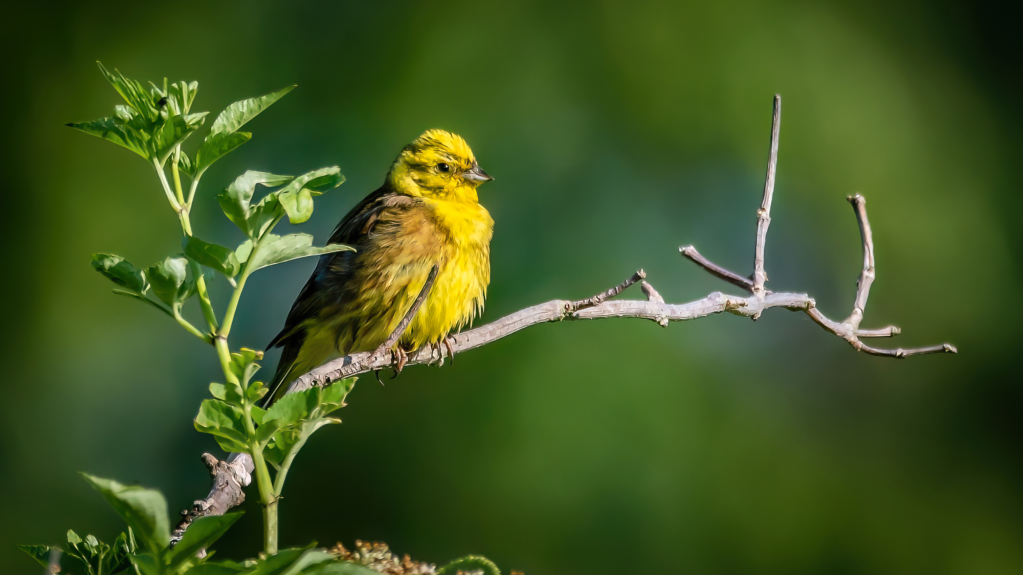
This upward trend compares to a long term sustained decline on Yellowhammer population on both a national and regional level.
BTO-licensed volunteers from the Hughenden Ringing Group have been carrying out a bird ringing study on farms in the Central Chilterns Farmer Cluster and the results have shown not only an increase in the number of Yellowhammer ringed but also the percentage of first winter young birds.
Further analysis of the data by BTO has confirmed a statistically significant increase in the local population of c. 40/50%. The are amazing results that highlight the power of volunteer-generated data via Tracking the Impact working alongside farmers who are actively managing the land on a landscape scale for farmland birds.
A true sign of Nature’s Recovery at a landscape scale and of robust, long-term monitoring.

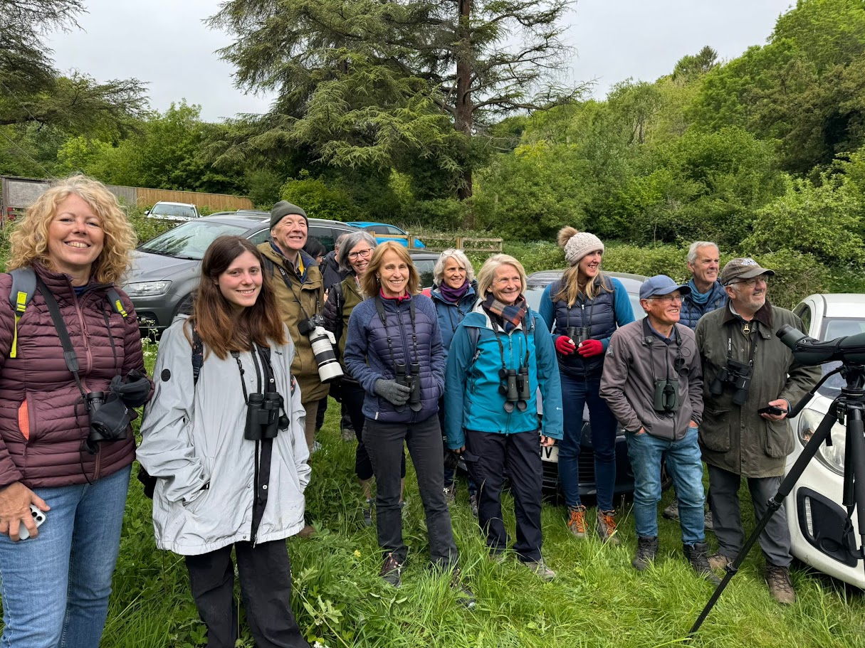
We provide a number of informative online training sessions. These should give you a sense of the wide range of experts and enthusiasts we have feeding into our group of around 200 volunteers, and the great knowledge sharing opportunities offered by our regular meet-ups and WhatsApp group.
Our partner organisations
 |
 |
 |
 |
 |
 |
 |
 |
 |
 |
 |
 |
 |
 |
 |
Tracking the Impact was established as part of the Chalk, Cherries and Chairs Landscape Partnership (CCC) (2018-2024), which was funded by the National Lottery Heritage Fund and HS2 Community and Engagement Fund. After five successful years, new funding from Rebel Restoration, the River Chess Smarter Water Catchment and Affinity Water took the project into 2026 and beyond.
Volunteering hub
Find out more about volunteering in the Chilterns – indoor, outdoor, practical or desk based there’s something for everyone, whatever age or stage! Use our interactive Volunteering Hub to find the perfect opportunity for you.
River Chess Smarter Water Catchment
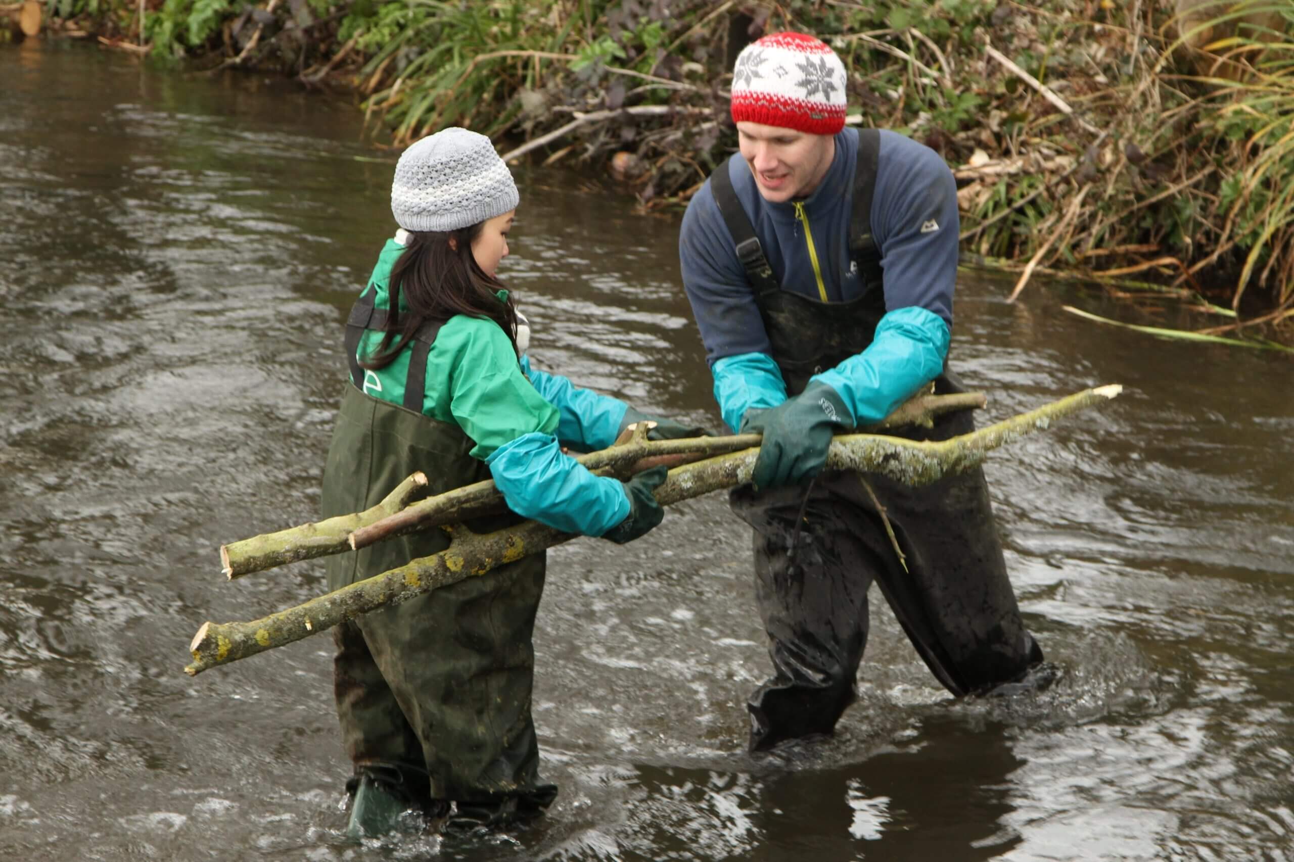
The River Chess Smarter Water Catchment project is tackling the issues that face the river and its catchment through partnership working.
Farmer Clusters
Our farmer clusters are proactive groups of farmers who come together to farm with wildlife and climate change in mind.

Opportunities for young people
Ensuring nature and heritage are for everyone is one of our core priorities. Everyone, no matter what age, can help to enhance the Chilterns’ special landscapes for future generations.