

Hastoe – Hollow Way
A hollow way, or drover’s road, is a narrow, sunken path created by the repeated use in the past for driving livestock over long distances. The combination of thousands of hooved feet and natural erosion has etched these impressive grooves in the landscape.
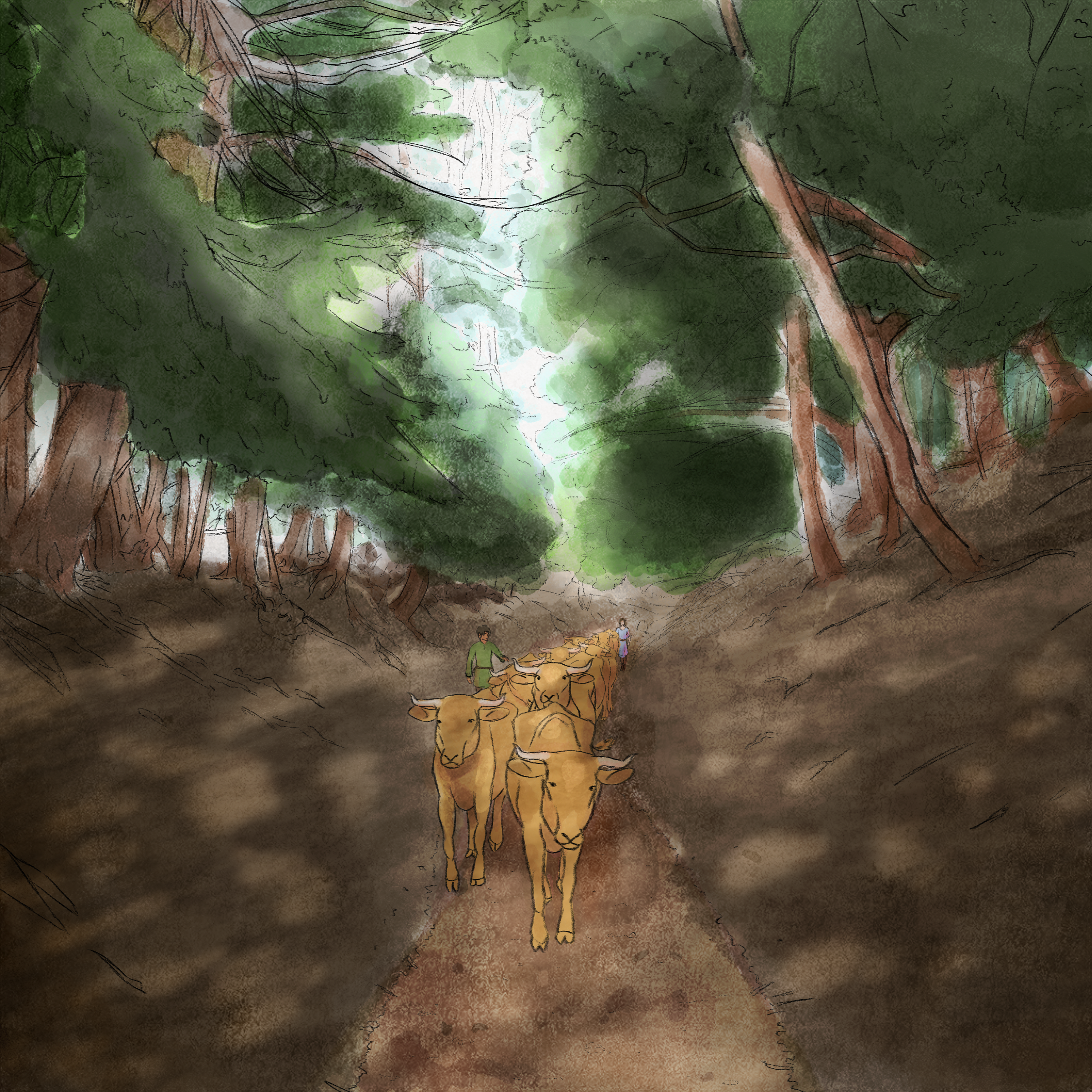
These paths may have started off as surface paths but over time, have been worn down by human and animal passage and water run-off, turning in this instance into a very steep-sided valley. This particular hollow way has in time come to serve as the boundary between Hertfordshire and Buckinghamshire, and it carries on from this sop to cross Tring Park, turning into Shire Lane here at Pavis Wood.
Drover’s roads often linked smaller villages and farms to larger market towns or ports, where animals could be sold or traded. These roads were essential for the economy of the time, facilitating the movement of cattle, sheep, and other livestock, which were driven over long distances to meet the demand for meat, wool, and hides.
Scotch Pine and Yew trees, as well as other natural features, have long been used as waymarkers along ancient drover’s roads, helping guide livestock drivers on their long journeys across the countryside. Yew are slow-growing and long-lived, and their distinctive shape and evergreen nature made them easily identifiable from a distance, marking key points along the droving routes. In addition to clearly identifiable trees, other natural markers, such as large rocks, prominent hills, or unusual tree species, were also used to help guide drovers. This was not only practical but also tied into the cultural landscape, with these markers becoming embedded in local folklore or placenames.
Heritage Trail
This is one of four ‘Routes to the Past’ circular walks, made possible by The National Lottery Heritage Fund. You can find the other trails on the main Chilterns Interactive Map, under routes.
Each trail has four waymarkers with unique stories to tell – Find the other Hastoe trail markers and scan their stories at the locations shown here.
